Vr Mapping |
ON-LINE REFERENCE DOCUMENTATION CARDINAL SYSTEMS, LLC |
Batch Contours (BatCon)
Type: Batch Application
Generates contours for massive amounts of data split among multiple VR files. The data is tile into managable pieces and optionally can be smoothed to create more aesethically pleasing contours.
Detailed Description
This application takes multiple VR files as input, and generates a combined set of contours for the whole. It is able to use vast amounts of data because it automatically tiles the data into manageable pieces and then merges the contour lines together. Optionally, users can smooth the data in a preprocessing step. The smoothing process thins the data to an approximate grid by using the point in each grid cell nearest the median elevation. Hence, smoothing does eliminate extreme highs and lows. However, break line and symbol data are never smoothed.
Steps
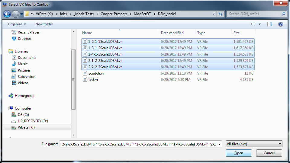
| 1. | User is prompted to identify the VR files containing the data they wish to contour. In the example below five large DSMs are being contoured. |

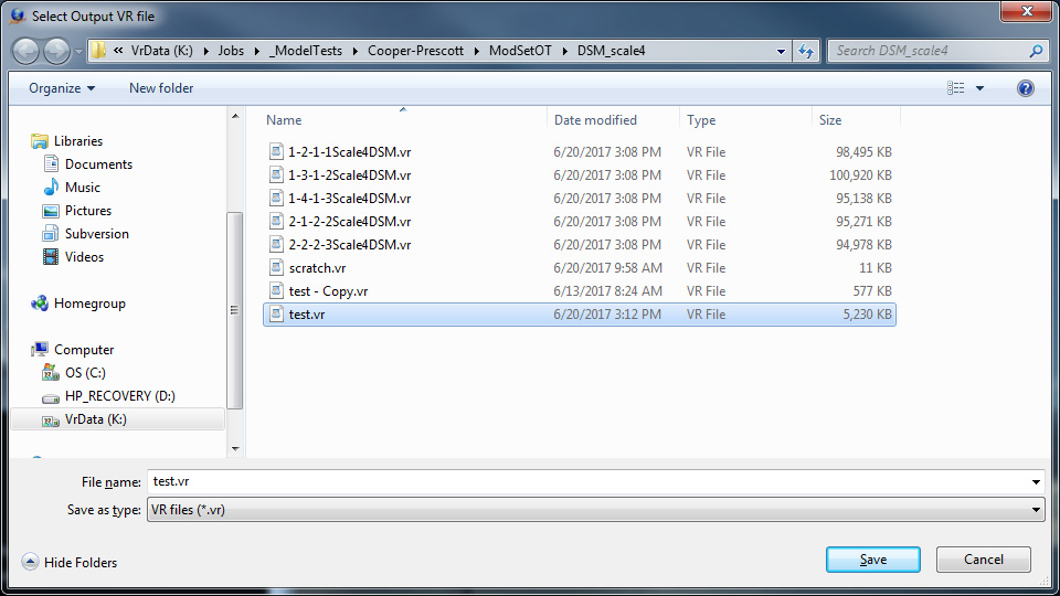
| 2. | User is prompted to identify the VR file where the contours will be recorded. This cannot be one of the input files. |

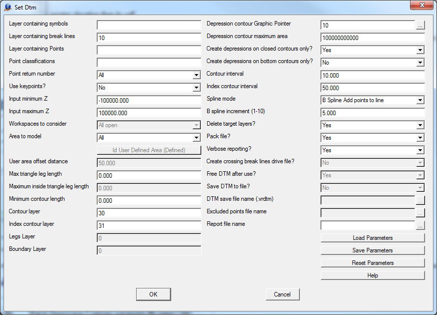
| 3. | User is prompted to input standard DTM parameters. Note that some of the parameters are unavailable. For example, legs and boundary lines are not saved. For more details on DTM parameters see the help_file. |

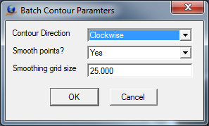
| 4. | User is prompted for some Batch Contours specific parameters. |

Contour Direction |
Contours can be saved as either clockwise or counter-clockwise lines |
Smooth Points |
LiDAR and DSM data are frequently too detailed to produce aesthetically pleasing contours. To correct this the data may be selectively thinned to an approximated grid. The size of the grid is controlled by the next parameter. Symbols and breaklines are not thinned. |
Smoothing grid size |
If smoothing is enabled then this will be the approximate grid spacing of the smoothed points. |